(An unexpected kick in the butt)
7/17/17
A 10 mile hike in Glacier is something I know well, and I think of it as a medium day. A 20 or 25 mile hike leaves a mark for a few days, but I enjoy doing days of 10 mile hikes. With that in mind, I figured a 10 or 12 mile hike on the Superior Hiking Trail would be a good opportunity to take some pictures and enjoy the stroll.
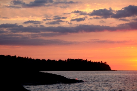
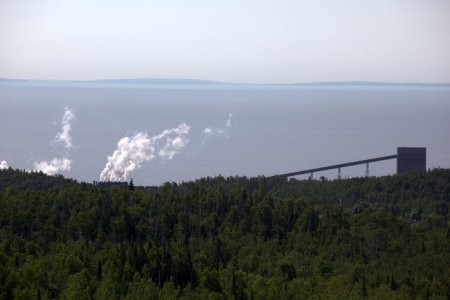
Early morning on Lake Superior
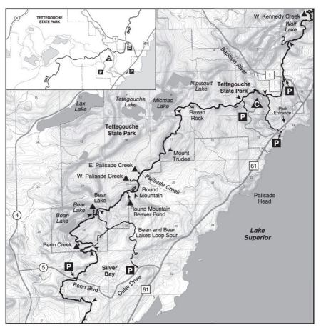
The Superior Hiking Trail mostly follows a ridgeline overlooking Lake Superior from Duluth to the Canadian border. The section I was going to hike was from Silver Bay to Tettegouche State Park, which the website describes as, “A very challenging and scenic section with views of Lake Superior and inland forests.” I’ve backpacked the first few miles, oh probably 20 years ago, and the main thing I remember is that 3 or 4 miles with a backpack including a Hasselblad and tripod kicked my ass. It also kicked our dog’s ass too. After ending the trip and driving to an overlook, she refused to get out of the car.
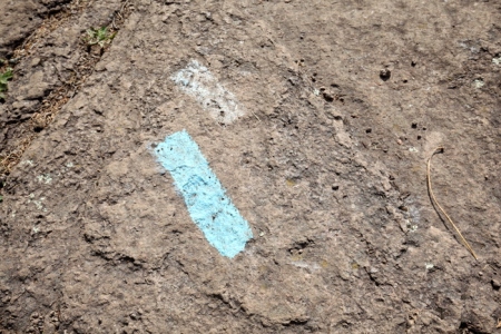
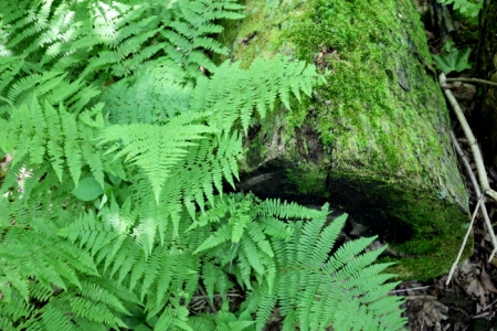
Trail has blue paint marking the trail on rocky sections.
I got a late start, 9 am, which I blame on the Tour de France and our room having cable TV. (We don’t get cable at home.) I put together a basic pack of a windbreaker, rain jacket, camera with three lenses, a tripod, a couple Cliff Bars and a bottle of water. The schedule was 2 mph + 1 hr for pictures, so Julie would pick me up at 3 pm.
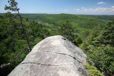
This is how I’d pictured the hike.
A look back at Silver Bay
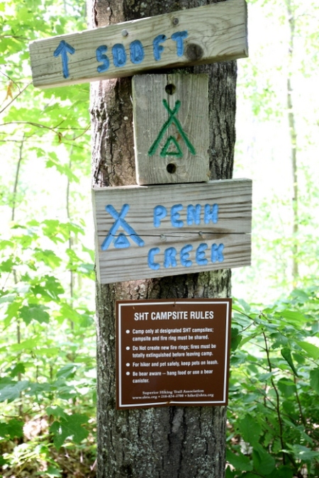
The trail has a series of backpacking campsites. Here’s the first one which I didn’t go check out. I ran into a solo woman hiker with a big backpack who stayed at Bear Lake. I asked her if it was full since it’s a popular spot. “I was the only one there.” I noticed that she was sweating enough that her hair was wet. Not a good sign. The hike actually turned into a lot of up and down and picking your steps. It reminded me of climbing stairs all day. Even the low, flat sections were through wet areas, so I was trying to find a logs to keep the mud off my boots.
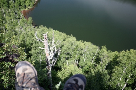
I believe this is Bean Lake, which is attached to Bear Lake.
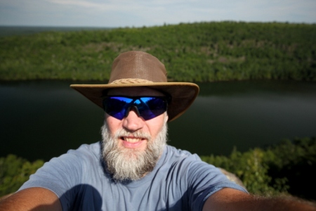
My hiking partner.
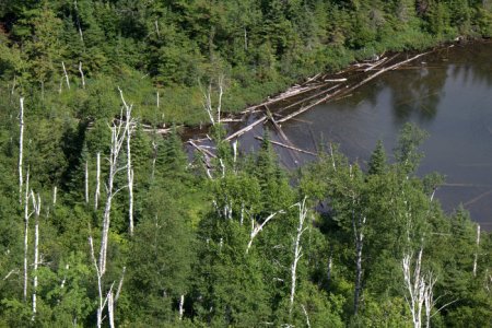
A shot of Bean (distant) and Bear Lakes. The campground is below me, and the trail up here is pretty steep for someone wearing a backpack.
At this point, my Garmin was saying I need to get moving. Even after adding an hour to my expected time, I was going to be late. Unfortunately, I was still picking steps, climbing hills, and I was getting tired.
Mount Trudee
Nearing the End—Tettegouche State Park.
I came across a rock outcropping and got on the walkie-talkie. “Julie, you got your walkie-talkie on?” Fortunately she did, and was willing to pick me up at the upper parking lot. That took a couple miles off the hike. There was section near the end called the “drainpipe.” It was steep enough that I had to back down it and use the hand rail. Geeze, it just keeps coming.
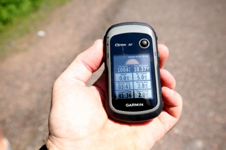
The numbers don’t look like much, but my legs felt this hike for a few days.
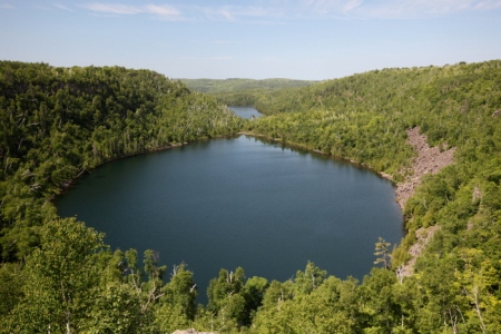
If you’re not familiar with the north shore, this is a section of Minnesota that is great for taking pictures.
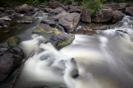
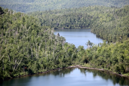
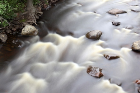
Beaver River
Cross River

Leave a comment